Geological Survey Preparing Two New Networks to Monitor Small Earthquakes and Groundwater Levels
LEXINGTON, Ky. (June 8, 2015) — The Kentucky Geological Survey (KGS) at the University of Kentucky is working to install two new networks across the state to gather important data on low-level seismicity and the state’s groundwater levels.
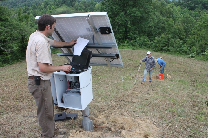
KGS Geologic Hazards Section staff have installed the first two of at least 15 highly sensitive seismic stations in eastern Kentucky. Both of these new stations, one in Boyd County and one in Lawrence County, were installed on private property in relatively remote and quiet locations. These new instruments, along with others in the network, will help monitor the background level of natural earthquakes too small for current instruments in the existing KGS seismic network to detect. Seismologist Seth Carpenter, who leads the project, says he hopes to determine if current oil and gas activities in the region might also cause such microseismicity.
No earthquake activity related to oil and gas development is known to have happened in Kentucky, but hydraulic fracturing (also called fracking) and deep wastewater injection related to oil and gas development in several other central U.S. states have been linked to cases of induced seismicity. The development of eastern Kentucky deep shale gas plays, such as the Rogersville Shale, is expected to increase fracking and water disposal activities.
The UK Department of Earth and Environmental Sciences is collaborating with KGS on the study, and instrument manufacturer Nanometrics Inc. has agreed to match the number of stations that KGS purchased, increasing the overall sensitivity of the temporary network. Carpenter says another industry partner will soon join the project, which will allow more instruments to be added to the network.
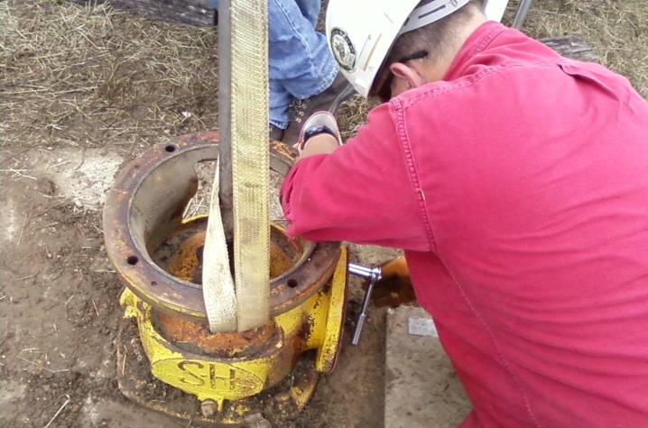
In addition, the KGS Water Resources Section is presently evaluating existing water wells located in different parts of the state to use in a new groundwater observation network. Kentucky does not currently have a network of wells that can be used to track seasonal and longer-term changes in groundwater levels and groundwater quality. Section Head Chuck Taylor says there are several reasons to create one. He points out that the state’s growing population and expanding agricultural and industrial operations are increasing the needs for water. For example, in much of western Kentucky, corn and grain farmers are increasingly turning to groundwater for irrigation. Many of the irrigation systems being installed require wells capable of supplying a minimum of several hundreds of gallons of water per day to work efficiently and economically.
Taylor says he hopes to establish at least 14 long-term groundwater observation wells across a broad swath of the state over the next year. Each of the wells will be selected to monitor naturally occurring changes in groundwater conditions that are representative of the major aquifer present in a particular region. Water Resources staff have begun testing wells that may be suitable for the network, including an unused irrigation well at a Murray State University agricultural station, previously monitored wells at Mammoth Cave National Park, and wells at the Kentucky Horse Park presently being used in a KGS study of groundwater quality in a karst region.
All of the wells eventually selected for inclusion in the observation network will be equipped with pressure transducers and data loggers capable of recording changes in groundwater levels at 15- to 30-minute increments. Approximately seven of the wells will also be equipped with a telemetry system that will automatically transmit recorded groundwater-level data to the KGS each day, enabling more rapid tracking and evaluation of current groundwater conditions. All groundwater data collected from the network’s wells will be posted to the KGS website and available for the public’s use.
MEDIA CONTACT: Whitney Harder, 859-323-2396, whitney.harder@uky.edu, or Mike Lynch, 859-323-0561, mike.lynch@uky.edu


